NWS Issues Winter Storm Watch for Montgomery County, More Snow and Sleet
 The National Weather Service (NWS) has issued a Winter Storm Watch for Montgomery County, which is in effect from late Sunday night thru Tuesday morning.
A Wind Chill Advisory is also in effect from 6 p.m. Saturday night thru 9 a.m. on Sunday morning. Winds are expected to blow from the northwest between 20 to 30 mph with gusts of up to 40 mph thru this evening. According to the NWS, the wind speed will decrease to 10 to 15 mph tonight.
Temperatures are falling into the single digits tonight thru Sunday morning. Temperatures will be in the teens Sunday night rising into the upper 20s and 30s Monday into Tuesday. Wind chills are expected to be 10 to 20 degrees below zero.
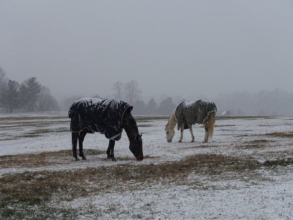
According to the NWS, there is a potential for five inches of snow and sleet, and there is the potential of a quarter inch of ice from freezing rain. Snow is expected to begin late Sunday night and will continue thru Monday before changing to sleet and freezing rain on Monday night. The precipitation is expected to end by Tuesday afternoon.
It is important to know that the dangerously low wind chills may lead to frost bite and hypothermia if precautions are not taken. Snow and ice will cause slippery roads and travel will be difficult.
If you must venture outdoors make sure you wear a coat, hat and gloves.
A WINTER STORM WATCH has been issued for Montgomery County from late Sun night to Tues. #MdWx For more information: https://t.co/vwInMKBh2x
— MC Emergency Mgt (@ReadyMontgomery) February 13, 2016
Engage us on Facebook
Follow us on Twitter
Tweets by @mymcmedia