More Snow Expected for Super Bowl Sunday
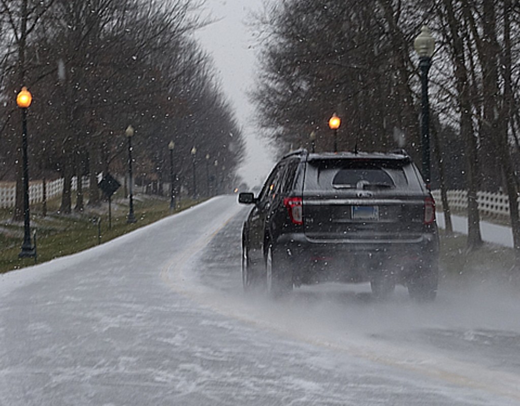
One week after Montgomery County and surrounding areas got several of inches of snow, round two is expected this weekend.
Various forecasts project one to three inches of snow for our area this Sunday. The snow is expected to begin falling early Sunday morning and then transition to rain by late Sunday evening.
A Winter Storm Watch has been issued for much of the region starting Saturday night and continuing through Sunday afternoon. Snow accumulations of 5 inches or more are possible in the watch area. pic.twitter.com/4DQyjyWg6d
— NWS Baltimore-Washington (@NWS_BaltWash) February 5, 2021
JUST IN: @NWS_BaltWash issues winter storm watch for entire DC/Balt region for potential for at least 5" of snow Saturday night into Sunday. Our forecast stands at 1-3" DC west, and 2-5" east, but we may adjust upward in subsequent updates. More info here: https://t.co/u9BFiBZfCF
— Capital Weather Gang (@capitalweather) February 5, 2021
Some SNOW back in the forecast on Sunday! How much? Things could change but right now generally 1-3" expected across region.. Updates Soon. #Gooddaydc pic.twitter.com/nStVcJRYGb
— Tucker Barnes (@TuckerFox5) February 5, 2021
As weather models continue to change, snowfall totals are likely to as well.
Heads up! The forecast for Sunday is quickly changing (again). It now looks like we will have some snow (maybe a wintry mix east of I-95) during the morning and midday hours with some accumulation. Unusual for the models to flip-flop so much and so close to the day. pic.twitter.com/QISSi1ROOE
— Amelia Draper (@amelia_draper) February 4, 2021

Engage us on Facebook
Follow us on Twitter
Tweets by @mymcmedia